Distance: 29.9km (776.3km).
Outside, the traffic flows normally, the world is almost contourless under one grey cover. I slept well during the night. The breakfast at the motel is good, so I am at least not hungry when I continue the walk home in a light rain. The walk today goes to Hamar and the pilgrim centre at Domkirkeodden.

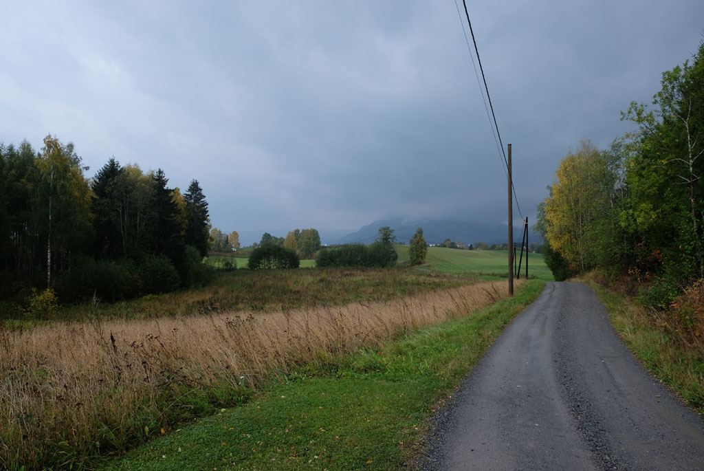
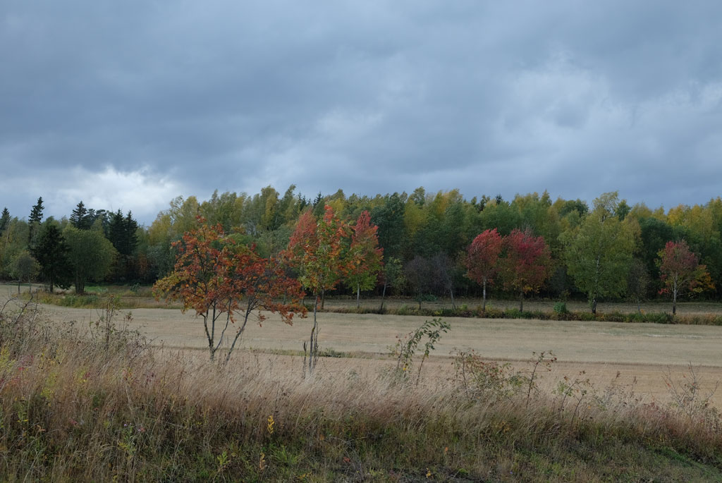
Grey weather on the way from Rudshøgda.
Wet green, yellow and orange autumn colours take me away from the junction. A stark contrast to the sad and almost colourless sky. Next to the pilgrim path, there is suddenly a large pine tree, Tokstadfura, over 500 years old and named the largest conifer in Hedmar. The pine is protected and fenced inside.

Tokstadfurua, over 500 years old.
Here was also an old school, which got its name from the tree, Furu school (furu is pine in Norwegian), which was in operation from 1883 to 1910. Instead of the school, there is now a small hut here, which probably would be nice to arrive at upon a later time in this kind of weather.

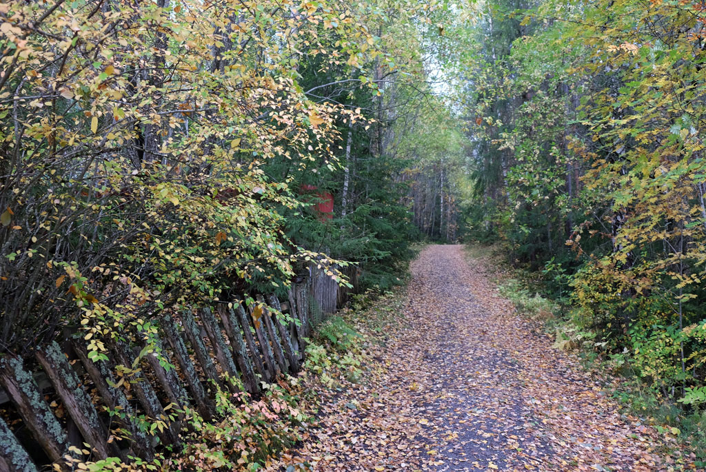
Overcast views from Præstvægen.
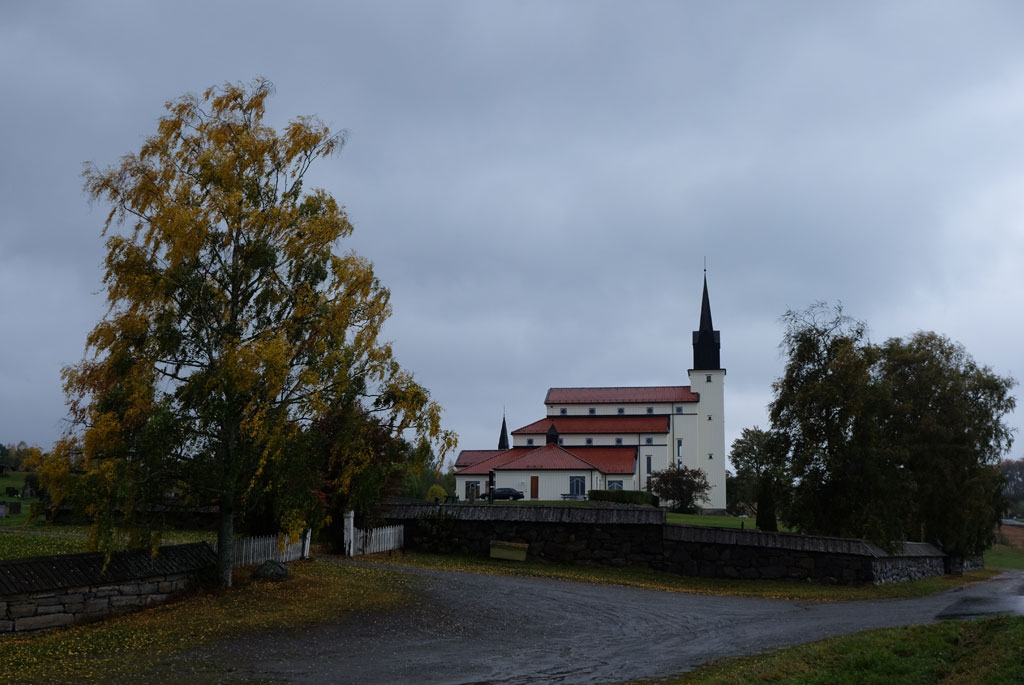
Veldre church.
Præstvægen goes all the way to Veldre church, coloured in yellow and orange where it goes through the forest, coloured in grey where it goes on a road. The church is new and perhaps mostly standing out by its floor-to-ceiling appearance from the side.

Solstad farm in autumn colours against a grey background.
The rain is a little off and on, but shows no sign of giving up. Where I would normally come out of a birch alley from Solstad, I now go into it, the waymarkers are here a little difficult to spot. The farm, the trees and the autumn colours provide a great contrast against the grey sky background.
Down towards Brumunddal.
Down to Brumunddal, the pilgrim path goes on a pleasant walk past cornfields and acres, through vegetation tunnels and with a rainy sky changing in intensity. Which direction I need to go is easy to find, Arthur Buchardt's Mjøstårn or Wood Hotel Brumunddal juts high in the landscape.
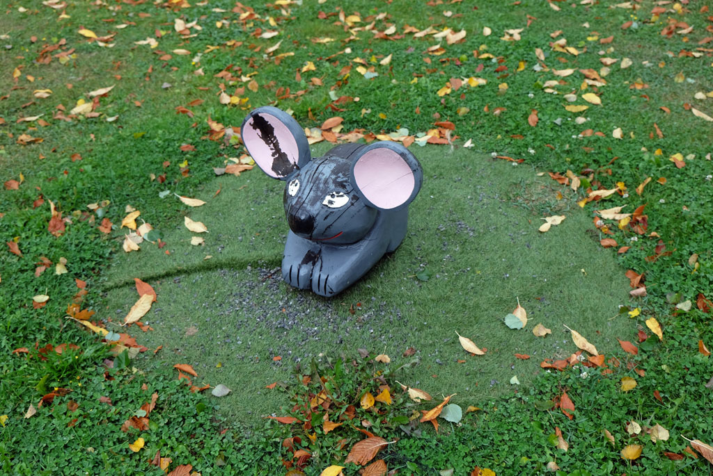
Is this a sculpture of a mouse, or is it a rabbit? In Brumunddal.

Wood Hotel Brumunddal, or Mjøstårnet.
I choose to have lunch at a café in Brumunddal instead of outside due to the weather. Afterwards I go to take a closer look at Mjøstårnet. This is officially the tallest wooden building in the world, 85 meters high. Someone might call it megalomania, and the deluge sent forth when I am on my way back makes me think of the Tower of Babel. It is as if the sky releases all that it contains of rain at the same time. The water hammers against the asphalt, I seek shelter in a gas station while the weather rages outside.

View over Furnesfjorden, with Mjøstårnet clearly in the landscape.
When the sky has cleared, the sun breaks through, the clouds split and blue skies take over. Not so exciting walking out of Brumunddal, but I am happy to be able to thaw up. Two young girls who come cycling, stop and ask me what I do. A bit like ‘Monsen på villspor’ (which is a Norwegian TV series where a famous Norwegian adventurer is put somewhere in the wild not knowing where he is and has to find his way back), they answer after I have explained what I do.

Waymarker-pole and belltower.
Towards Furnes, I will have two options to choose from according to the map in the guidebook. Whether it is because I am going in the opposite way or that it has changed to only be one route, I do not know which of the options I end up going, but from the description in the guidebook it sounds like the best choice. I walk up a gravel road with a view of Furnesfjorden, Mjøstårnet rises clearly in the background behind me, before the trail takes me through forest on a hollow road and path covered in autumn.
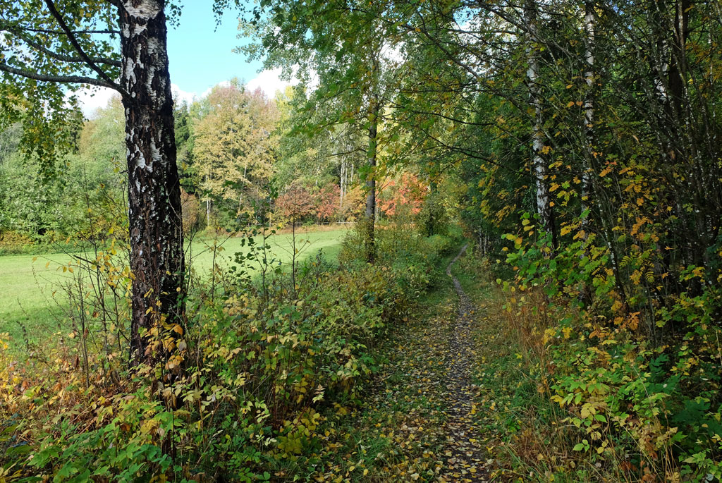
On a path on the pilgrim path between Brumunddal and Furnes church.
It is Gamle Kongeveg (‘The Old Royal Road’) I follow, it takes me under an increasingly dramatic sky towards Furnes church from the early 18th century. Around the church the trees are on fire, but it is only the colours of the fall and not real fire.
Autumn-coloured trees in a field.
I also struggle a bit to follow where the pilgrim path goes the opposite way through the forest after Furnes church, but this time I am luckier with the choices I make.

Great light in the sky on the walk towards Furnes church.
After a bit of walking on a road, only Furuberget nature reserve stands between me and Hamar. This is a limestone ridge that has good growing conditions for drought-resistant pine forests. Through the lime pine forest, the pilgrimage goes on a nice path. I try to find an old village castle, but instead find a large and ugly quarry, is this what we mean by protecting one of the largest continuous lime pine forests in Norway?

Furnes church, with the trees dressed in autumn colours.
Down by the shores of Mjøsa, a fabulous play of light awaits me. Clouds drift over the water at the same time as the waves roll in over the beach, between the openings in the clouds the sun illuminates the water and the landscape with rays of light. As the waves carry the water back and forth, the rays of light dance back and forth across the landscape on the other side.
The pilgrim path where it enters the Furuberget nature reserve (or out of it as the case may be).
I walk past the Norwegian Railway Museum and the old place of execution from the Middle Ages in Hamar, Martodden, constantly interrupted to walk down to the shores of Mjøsa to witness the dance the clouds and the rays of the sun make. Domkirkeodden contains a large collection of old houses from the Middle Ages and the trail takes one right past many of these.

Wonderful play of light over Mjøsa.
Hamardomen is the indisputable centre on Domkirkeodden. The ruins that are now protected under a building of glass originate from the cathedral that was built in the 12th century. In addition, the bishop's castle, the monks' herb garden, a hospital and a school were also located here. This was then the only inland village in the country, Hamarkaupangen. In the 16th century, the city was attacked by the Swedes and due to the subsequent fire, most of the cathedral was destroyed.

Former Kløften station, here at Norsk Jernbanemuseum.
Pilgrimssenter Hamar is located just beyond the ruins of the cathedral, and this is where I will spend the night. I meet some of the pilgrim hosts there just before they leave for the day. In the evening I get the place to myself. The place has a kitchen that the pilgrims can use to cook, but I have chosen to go out. Get a brief look at Hamar, even if it is under the wings of darkness.

Walking through the village museum at Domkirkeodden.
In the centre of Hamar it is quiet, and for a while I almost wonder if there is any place open, but suddenly I get to where there is life. I find a place in Heim, as I did in Lillehammer (on the way up to Trondheim), and after a while there is both food and drink on the table.

More wonderful light over Mjøsa.
I return under the cover of darkness. Outside Koigen the diving tower is illuminated, the sound is of wind and waves towards the beach. Back at the pilgrim centre, I lock myself in and relax the last bit of the evening. It has been a good day.

Hamardomen.
It was a good walk from a rainy and grey junction to what was an undoubted highlight of the day, the light show over Mjøsa.

From Hamar in the evening.
<< Rudshøgda // day 24Tangen // day 26 >>


No comments:
Post a Comment