Saturday, September 26, 2020

Gudbrandsdalsleden // day 27 // Tangen - Ljødal

Gudbrandsdalsleden, Østleden, day 27.
Distance: 35.3km (844.5km).


The sound at night gives little doubt about what I have in store for this day, I wake up early from the drumming on the roof. The rain has arrived and when I get up it is clear that it has come to stay. I eat my breakfast, pack together my belongings and close the door behind me to a grey and wet world in front of me.

A grey and rainy start to the day, down here past Korsøgarden and out of Tangen.

The weather has closed the view outside, the pandemic has closed all accommodation in the forest between Tangen and Eidsvoll. I have aimed to spend the night in the shelter in Ljødal.

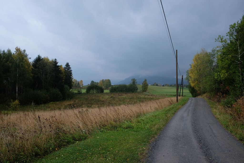
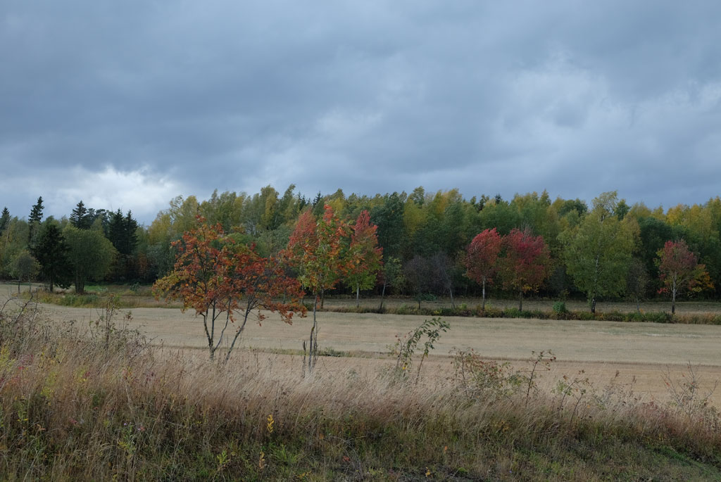
Not many colours to see on the way to Espa.

This is perhaps one of the stages on Østleden that I have the most expectations for, so it is therefore a bit bitter that the weather is so miserable, but there is nothing else to do but to bite the bullet. The route follows the wet asphalt through Tangen, past equally wet fields and farms down to the shores of Mjøsa. If there is anything that warms in the cold weather, it is to see a yellow arrow on a brick wall along the road.

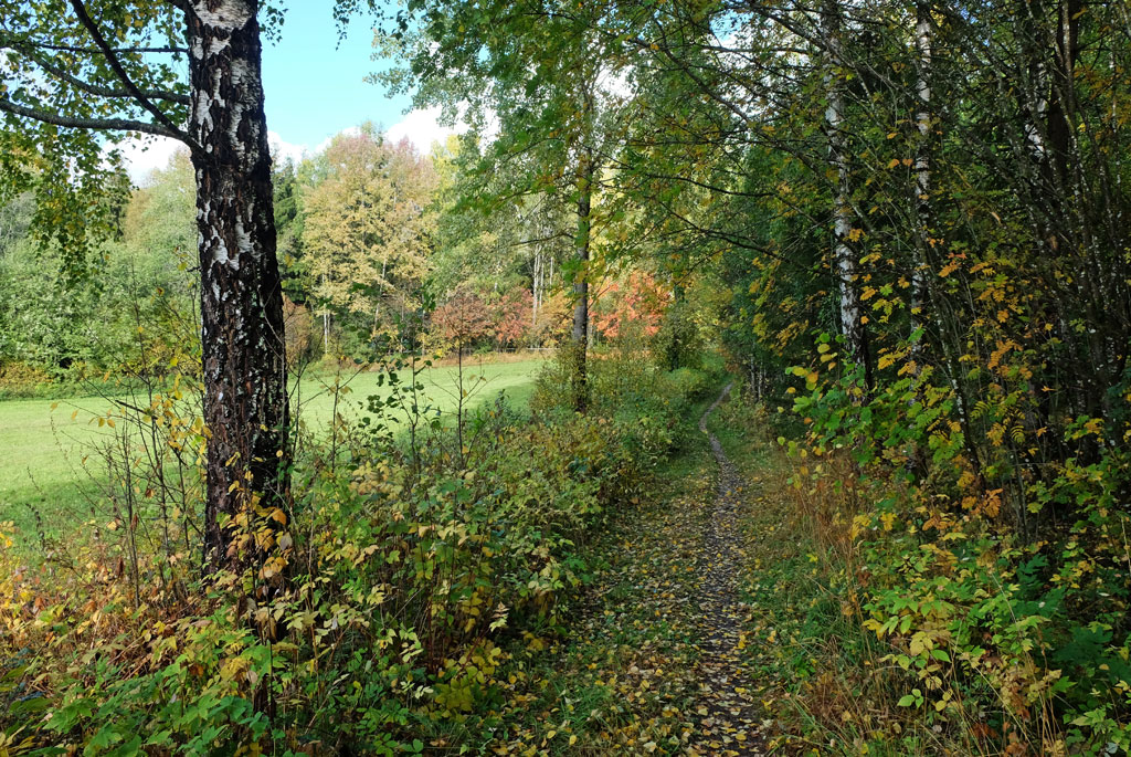
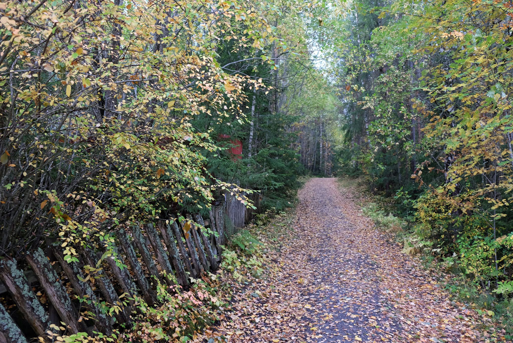
On a path through a wet forest.

Filiphaugkoia.

Espa is known for its flour buns, but unfortunately the pilgrim way does not go to where those buns are sold. Quiet around me, most people probably stay inside in this weather, but I meet a lonely man who is out walking his dog. Looking out over Mjøsa, the world is grey and monochrome, with a quiet sadness in the wind.

A clear and distinct path through the grass.

And the wind makes the hike gusty and cold. Up by Nilsberg, the pilgrim way will come out of the forest on a path, but I pass it by unnoticed and do not realize that something is wrong until a few hundred meters later. Should you go in the opposite direction, it is important to know that the trail takes a sharp turn left straight into the forest after the barrier.

The streams flow over their small banks.

The ground and the path are as wet as the sky. The small streams that the path crosses have now become small ponds instead. Had it not been for the miserable weather, I would probably have enjoyed this stretch of the pilgrim path, now I just bite my teeth together and splash hurriedly through the dripping forest.

Romsætra.

There is no shelter to be found in the small Filiphaugkoia that I pass, not in the slightly larger Romsætra either, although both places would have been nice picnic areas. The forest I have walked through will here be protected primeval forest and protected by the oldest nature reserves in Hedmark (now Innlandet). The area is 3.5 acres big. Stange Almenning applied for protection in 1920, when some of the trees were around 200 years old, some of which were up to 27 meters in height and 1 meter in diameter.

Sannfredstun.

View towards Spetalsjøen.

From Romsætra, the pilgrim way has come out to a forest road that I will follow down to Spitalen, I see little of this part while trying to keep the blustery weather out of my mind. The name Spitalen quickly brings to mind a hospital and is derived from hospium in Latin. If you search well enough, either in the area or old records, you might have found traces of an old pilgrim hostel here.

At Granerudsjøen.

What is now available to the pilgrims here, Sannfredstun, is closed due to the pandemic. The people who run the hostel live further down below and I get in touch with the host as I walk past the farm they live on. The conversation is pleasant, but I must honestly admit that I want to make it short. Standing still for a long time now quickly makes me very cold.

The pilgrim path after entering Eidsvoll municipality.

Lysjøen.

A junction and no waymarks make me take the wrong path after Spitalen. It will be easier later, when Gudbrandsdalsleden partly shares the route with Rondanestien, which provides some additional waymarks to the route. Once I have come down to Granerudsjøen, the hike is nice, and the gusty weather is finally displaced a bit in my mind (it is possible that I become well accustomed to it at this time).

Lysjøhimet.

The path over to Lysjøen is pleasant. I change pastures from Stange to Eidsvoll municipality on a partly steep hill in the forest. Not far from Lysjøen is Lysjøhimet, a private cabin that has been made accessible to hikers, but also here the pandemic has visited and locked the doors.

The bridge over Lysjøåa.

A little bit of wild under the embrace of the wet trees.

The small section you reach after Lysjøhimet is one of the highlights through the forest, where you cross a stream on a bridge. Wild, wet, and strange that it feels beautiful. The path next to Lysjøåa takes you deep into the embrace of the trees. Some trees are weighed down over the path. One of them fell down with a crash right after I had passed it, luckily it was not that big.

Walking next to Lysjøåa.

Above the forest road stands a troll and follows the steps I take. It is quiet down by Fløyta. Also when it comes to the rain and the wind, both of which have finally lessened down a bit. The colours in the landscape, on the other hand, are still just as colourless.

Trolldorr. Watches over the many walkers who pass by, 2.2m high is the troll.

After a few kilometres on a forest road, I come out of the woods, meet a local man who tells me that the shelter I am looking for can be a little difficult to see. It still turns out to be easily visible from the direction I come, maybe a little harder to see if you go in the so-called correct direction.

From Fløyta, the bridge that the pilgrim way crosses over.

Rest area at the end of Fløyta.

After the wind took a longer break, I could finally walk myself warm again, but I am glad to have arrived. The shelter (gapahuk) at Ljødalsvegen is almost for a small stone hut to count, as it is not open in the way we usually associate with these kinds of shelters. Inside it is a bench, a table, two wooden chairs and a fireplace (but no wood). It is a bit wet in some of the sides inside, so it is not completely water-tight, it feels a bit raw in it.

Forest road next to Fløyta.

Complaints set aside, I am very satisfied, I have gotten under cover. Getting changed into dry clothes feels absolutely heavenly. The rain has not completely subsided either. With flickering candles inside, I get a nice evening. I eat dinner, make my coffee and then I have been so rude to carry some beer with me for the evening. I must add that I think I deserve them after today.

A kind of mill plant in Ljødal.

Definitely the wettest, coldest and sourest day of my pilgrimage. A great contrast to yesterday where at one point I had to go in just the sweater (nothing to complain about, it was nice and warm). This may be one of those days when you look back with more positive eyes. It was a lot of pleasant scenery along the way, if I had been in the mood for it.

The shelter in Ljødal.

<< Tangen // day 26Dal // day 28 >>

Friday, September 25, 2020

Gudbrandsdalsleden // day 26 // Domkirkeodden - Tangen

Gudbrandsdalsleden, Østleden, day 26.
Distance: 32.9km (809.2km).


How far do I go today? I do not know, but Tangen is perhaps the best guess if you had made a bet. I fell asleep like a rock yesterday anyway.

The ruins of Hamardomen.

Entrance to Hamardomen is free for pilgrims who can show a valid pilgrim pass, but the opening hours have not matched the time I am here. The manager of Hamar Pilgrimssenter, however, has a key to the ruins. Unfortunately, I made the mistake to say that I was going to leave early today. I changed my mind, but then she had taken home office with the thought that I would not be present when she came to work. It meant a both late start for me and that I did not get a visit to Hamardomen.

Chimes sculpture in autumn colors outside the old church ruins.

Apart from walking around the glass house and looking at the church ruins from the outside before I grab my backpack and head towards Hamar and beyond.

The church ruins and the protective glass house.

When I followed the pilgrim way back again from the centre of Hamar last night it was dark, now I get to see the route in daylight, albeit under a slightly hazy sky. Behind the carillon in Mjøsa, the sun is visible as the contour of a disk, which gives a great photo motif. Unfortunately, I am not present at the time the 24 bells in the bell tower are playing up for dance.

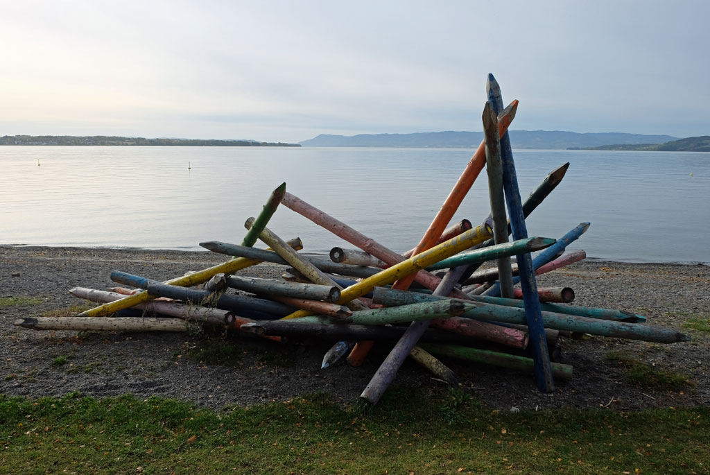
Mikado on the shore of Mjøsa.

There is probably also little ice dancing inside Vikingskipet (the Olympic ice skate hall) when I move out of Hamar on the bridge with the ice skate hall reflecting in the water on the other side.

The carillon in Mjøsa.

Furthermore, I follow residential houses, which are replaced with fields and after a good distance with this as a landscape next to me, I find out that I am no longer on the pilgrim way. Which took a hard turn to the right after the last residential house. When I go back, I see the waymarker-pole, which was not visibly when coming from the opposite direction.

A day of reflections, on the way out of Hamar.

When I study the map in the guidebook, it is clear that I would probably have rejoined the pilgrim way again at a later point, but it is also clear that it would have been a significantly more boring walk. Down by Mjøsa, the trail follows the Ottestadstien path and although it is a bit difficult here and there to follow the trail correctly from time to time, due to the diversion when some excavation work is carried out in the area, it is a nice hike. The route alternates between walking through pleasant forests, next to the water past some sculptures or memorials, and small fenced off old houses.

Vikingskipet.

Then the golf balls fly around my head in a wild chaos, and I have to put on my helmet for safety. No, now I am just kidding, but the route goes straight through the Atlungstad Golf Club, and I probably look much messier than the tweed-clad golfers who walk around on the well-groomed lawns. It feels a little bit strange. The exit from the golf course passes the stately farmhouse at Atlungstad Gård and then through an autumn-clad avenue. The sun has pulled the veil aside.

Sculpture at Nordsveodden outdoor area.

Treebear?

Coming out of the avenue, I am out in the cultural landscape in Stange. From now on, there are cornfields and a mixture of gravel and asphalt roads that apply, and all the farms that lie next to it.

On the Ottestadstien path.

I take a break outside what is supposed to be one of the most distinguished medieval churches in Hedmark. Stange church is from the 13th century and is as locked as most other churches I come to. It seems that the time of confirmations is over.

Walking through Atlungstad Golf Club.

At a farm there is a small store that sells the goods the farm produces, and here I also meet the hostess at Herkestad Gård who has a pilgrim hostel on her farm. Furthermore, the trail meanders on roads between fields and farms of varying sizes. The sun has pulled the veil in front of it again. Far away, it may look like rain is on its way.

Atlungstad farm.

The forest has gradually come closer. Eventually the trail goes up into it, where most of the pilgrims would have come out of it. From where another Feginsbrekka is located, the first place the pilgrims got to see Stange church from. Here there is a bench with table for pilgrims and I sit down for my lunch. A horse next to it has a sudden panic attack, as if it had been stung by a wasp.

Stange church.

Through the forest, the route goes on a gravel road. Nice, but not the most exciting, but the forest always gives off a smell that is relaxing. Above a farmhouse is again the sun the contour of a disk. The farm looks like an abandoned place, which has always fascinated me. I go up and take a quick look at the place. Wondering who has lived here. Possibly who lives here or owns the place. What it is used for now.

Loft outside Stange church.

In the woods, a new pilgrim hostel has appeared, Skomakerstuen. I take the short walk to it out of curiosity. If nothing else, it makes me get a pilgrim stamp for this day, although it is not so important anymore.

Through Stange, the light side and the dark side.

The route runs through the forest, which stretches for a good distance, almost all the time on a gravel road between the trees. As I approach Tangen, I suddenly walk into a Snuffy Smith kind of country, shadows of the banjo scene from Deliverance enter my head.

Farm in Stange.

If you participated in the bet, it is time to draw the winning ticket. I am content when I arrive at Tangen. Not sure how far I have to go to find a suitable tent site from here, I choose to go down to Tangenodden camping. The sky has darkened, the wind has picked up, clear signs that rain is on its way.

Lunch at the pilgrim bench at Feginsbrekka.

It is almost completely quiet at the campsite. No one is seen, so I have to call to reach reception. Have a nice conversation with the person who runs the place.

Farm in the forest between Stange and Tangen that seems a bit abandoned.

In order to buy food for dinner and breakfast, I need to go back up to the store. At the same time I visit Tangen church, an octagonal church, which is a fine sight when illuminated against the dark background of the sky.

Through the woods between Stange and Tangen.

I sit down on the small terrace outside the small camping hut. Outside, the rain has finally come, a wet darkness that has drifted in over the campsite. It is relaxing to sit outside, while I hear the rain lightly drum on the roof. It seems that there is a party in the cabin next door, but without any annoying sound to be heard from there.

View over Mjøsa from Tangenodden camping.

For dinner I have meatballs. I have crawled into the sofa inside the camping cabin, relaxing with a few beers, while listening to the rain and the wind outside.

Tangen church in the evening.

There was some hard surface on this stage, but all in all I was happy with the day. Tomorrow, the weather forecast gives little reason for optimism. The weather outside now is just a tiny taste of what awaits me then. It therefore feels extra good to wrap my sleeping bag extra well around me when I go to bed.

In the evening outside my camping hut at Tangenodden.

<< Domkirkeodden // day 25Ljødal // day 27 >>

Thursday, September 24, 2020

Gudbrandsdalsleden // day 25 // Rudshøgda - Domkirkeodden

Gudbrandsdalsleden, Østleden, day 25.
Distance: 29.9km (776.3km).


Outside, the traffic flows normally, the world is almost contourless under one grey cover. I slept well during the night. The breakfast at the motel is good, so I am at least not hungry when I continue the walk home in a light rain. The walk today goes to Hamar and the pilgrim centre at Domkirkeodden.

Grey weather on the way from Rudshøgda.

Wet green, yellow and orange autumn colours take me away from the junction. A stark contrast to the sad and almost colourless sky. Next to the pilgrim path, there is suddenly a large pine tree, Tokstadfura, over 500 years old and named the largest conifer in Hedmar. The pine is protected and fenced inside.

Tokstadfurua, over 500 years old.

Here was also an old school, which got its name from the tree, Furu school (furu is pine in Norwegian), which was in operation from 1883 to 1910. Instead of the school, there is now a small hut here, which probably would be nice to arrive at upon a later time in this kind of weather.

Overcast views from Præstvægen.

Veldre church.

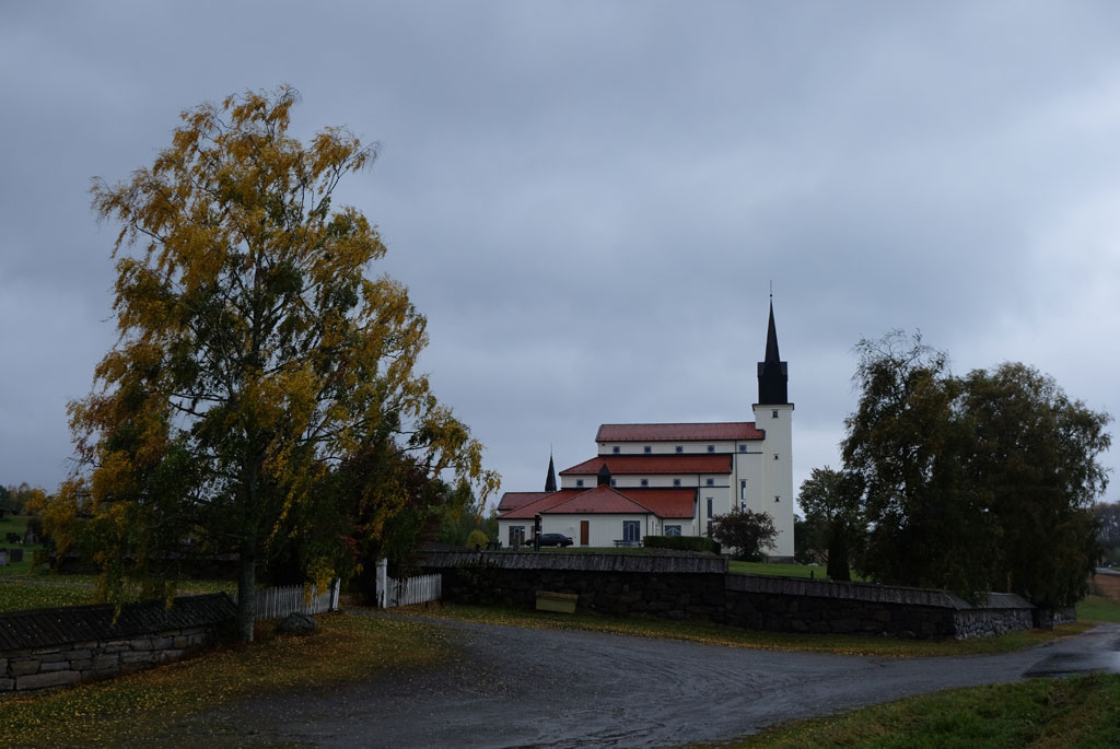
Præstvægen goes all the way to Veldre church, coloured in yellow and orange where it goes through the forest, coloured in grey where it goes on a road. The church is new and perhaps mostly standing out by its floor-to-ceiling appearance from the side.

Solstad farm in autumn colours against a grey background.

The rain is a little off and on, but shows no sign of giving up. Where I would normally come out of a birch alley from Solstad, I now go into it, the waymarkers are here a little difficult to spot. The farm, the trees and the autumn colours provide a great contrast against the grey sky background.

Down towards Brumunddal.

Down to Brumunddal, the pilgrim path goes on a pleasant walk past cornfields and acres, through vegetation tunnels and with a rainy sky changing in intensity. Which direction I need to go is easy to find, Arthur Buchardt's Mjøstårn or Wood Hotel Brumunddal juts high in the landscape.

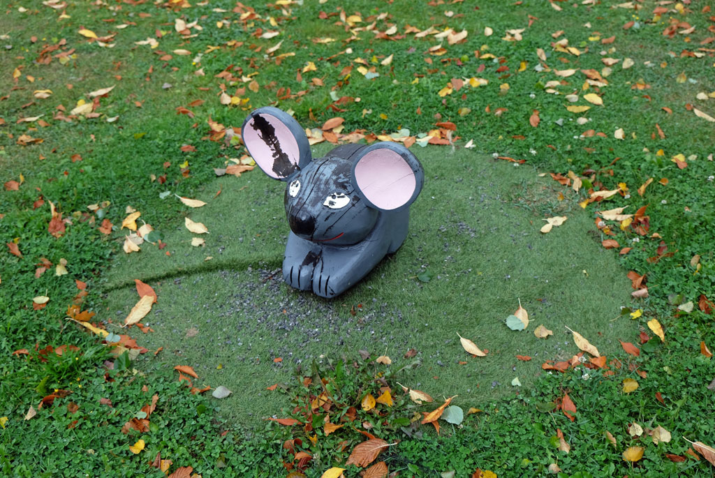
Is this a sculpture of a mouse, or is it a rabbit? In Brumunddal.

Wood Hotel Brumunddal, or Mjøstårnet.

I choose to have lunch at a café in Brumunddal instead of outside due to the weather. Afterwards I go to take a closer look at Mjøstårnet. This is officially the tallest wooden building in the world, 85 meters high. Someone might call it megalomania, and the deluge sent forth when I am on my way back makes me think of the Tower of Babel. It is as if the sky releases all that it contains of rain at the same time. The water hammers against the asphalt, I seek shelter in a gas station while the weather rages outside.

View over Furnesfjorden, with Mjøstårnet clearly in the landscape.

When the sky has cleared, the sun breaks through, the clouds split and blue skies take over. Not so exciting walking out of Brumunddal, but I am happy to be able to thaw up. Two young girls who come cycling, stop and ask me what I do. A bit like ‘Monsen på villspor’ (which is a Norwegian TV series where a famous Norwegian adventurer is put somewhere in the wild not knowing where he is and has to find his way back), they answer after I have explained what I do.

Waymarker-pole and belltower.

Towards Furnes, I will have two options to choose from according to the map in the guidebook. Whether it is because I am going in the opposite way or that it has changed to only be one route, I do not know which of the options I end up going, but from the description in the guidebook it sounds like the best choice. I walk up a gravel road with a view of Furnesfjorden, Mjøstårnet rises clearly in the background behind me, before the trail takes me through forest on a hollow road and path covered in autumn.

On a path on the pilgrim path between Brumunddal and Furnes church.

It is Gamle Kongeveg (‘The Old Royal Road’) I follow, it takes me under an increasingly dramatic sky towards Furnes church from the early 18th century. Around the church the trees are on fire, but it is only the colours of the fall and not real fire.

Autumn-coloured trees in a field.

I also struggle a bit to follow where the pilgrim path goes the opposite way through the forest after Furnes church, but this time I am luckier with the choices I make.

Great light in the sky on the walk towards Furnes church.

After a bit of walking on a road, only Furuberget nature reserve stands between me and Hamar. This is a limestone ridge that has good growing conditions for drought-resistant pine forests. Through the lime pine forest, the pilgrimage goes on a nice path. I try to find an old village castle, but instead find a large and ugly quarry, is this what we mean by protecting one of the largest continuous lime pine forests in Norway?

Furnes church, with the trees dressed in autumn colours.

Down by the shores of Mjøsa, a fabulous play of light awaits me. Clouds drift over the water at the same time as the waves roll in over the beach, between the openings in the clouds the sun illuminates the water and the landscape with rays of light. As the waves carry the water back and forth, the rays of light dance back and forth across the landscape on the other side.

The pilgrim path where it enters the Furuberget nature reserve (or out of it as the case may be).

I walk past the Norwegian Railway Museum and the old place of execution from the Middle Ages in Hamar, Martodden, constantly interrupted to walk down to the shores of Mjøsa to witness the dance the clouds and the rays of the sun make. Domkirkeodden contains a large collection of old houses from the Middle Ages and the trail takes one right past many of these.

Wonderful play of light over Mjøsa.

Hamardomen is the indisputable centre on Domkirkeodden. The ruins that are now protected under a building of glass originate from the cathedral that was built in the 12th century. In addition, the bishop's castle, the monks' herb garden, a hospital and a school were also located here. This was then the only inland village in the country, Hamarkaupangen. In the 16th century, the city was attacked by the Swedes and due to the subsequent fire, most of the cathedral was destroyed.

Former Kløften station, here at Norsk Jernbanemuseum.

Pilgrimssenter Hamar is located just beyond the ruins of the cathedral, and this is where I will spend the night. I meet some of the pilgrim hosts there just before they leave for the day. In the evening I get the place to myself. The place has a kitchen that the pilgrims can use to cook, but I have chosen to go out. Get a brief look at Hamar, even if it is under the wings of darkness.

Walking through the village museum at Domkirkeodden.

In the centre of Hamar it is quiet, and for a while I almost wonder if there is any place open, but suddenly I get to where there is life. I find a place in Heim, as I did in Lillehammer (on the way up to Trondheim), and after a while there is both food and drink on the table.

More wonderful light over Mjøsa.

I return under the cover of darkness. Outside Koigen the diving tower is illuminated, the sound is of wind and waves towards the beach. Back at the pilgrim centre, I lock myself in and relax the last bit of the evening. It has been a good day.

Hamardomen.

It was a good walk from a rainy and grey junction to what was an undoubted highlight of the day, the light show over Mjøsa.

From Hamar in the evening.

<< Rudshøgda // day 24Tangen // day 26 >>
popular posts